The coldest air of the winter thus far made its way into the D.C. region overnight and will remain Friday, setting up a bitterly cold weekend that is expected to end with snow.
Winds chills will be in the single digits and teens by Friday morning, Storm Team4 meteorologist Amelia Draper said.
And with wind gusts up to 40 miles-per-hour, wind chills will be in the teens to the 20s throughout the day, Draper said.
Winds will be lighter, but it will still be cold on Saturday with highs only in the 30s.
“Sunshine on Saturday will be short-lived as another storm system will head our way, bringing us our next chance for some accumulating snow starting midday Sunday, possibly lasting into Monday,” Storm Team4 meteorologist Matt Ritter said.
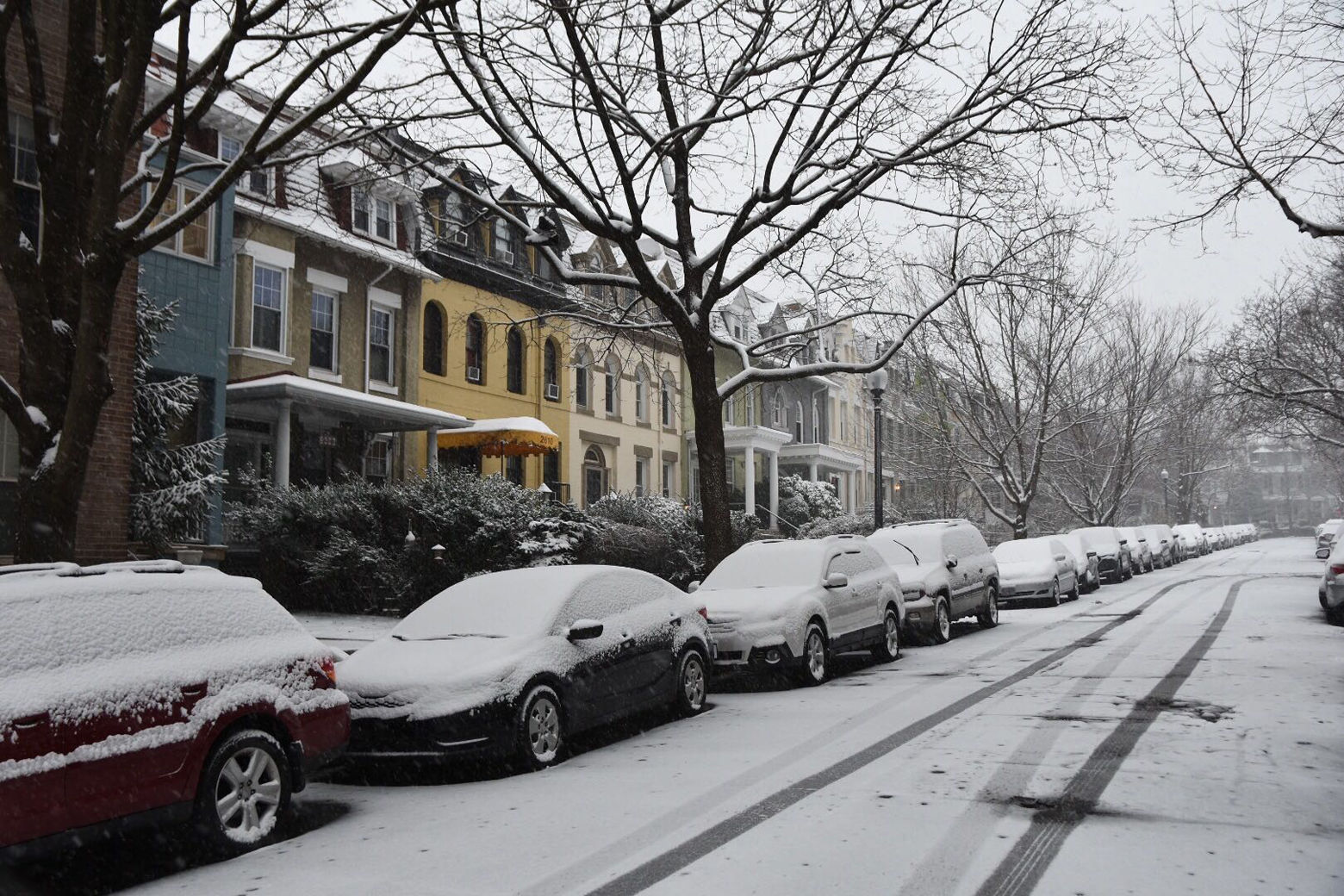
The storm could bring snow some 2 to 5 inches of snow to the area by Sunday morning. And the warm air following that could lead to a wintry mix Monday morning, according to Draper.
Dust off the shovel, grab some extra firewood and find the sled. How about these odds for Sunday’s snow!? pic.twitter.com/NrKxbfQSOT
— Amelia Draper (@amelia_draper) January 28, 2021
According to Storm Team4 meteorologist Doug Kammerer, the European model suggests about 6 to 10 inches of snow for “most everyone.”
This would be the D.C. area’s first chance at significant snow accumulations in two years, Ritter said, adding travel would be affected Sunday into Monday even with “the smallest realistically possible amounts” in the mid-Atlantic and Northeast.
“Everyone should have their first inch before noon,” Storm Team4 meteorologist Chuck Bell said about Sunday’s anticipated snow. “By sunset most of the area will have at least 2, to perhaps as many as 5 or 6 inches of snow.”
For areas to the west of Dulles International Airport and north of Gaithersburg the storm will “likely be all snow from start to finish,” Bell said. He forecasts snow totals in those areas are “likely to be in the 10-12″ range.”
Meanwhile, Bell said D.C. and the immediate suburbs will likely end up in the 4-8 inch range while Southern Maryland will end up with 4 inches or less due to the rain mixing in for a longer period of time.
He said as the storm pulls away from the D.C. region on Tuesday morning, cold air will rush in behind it. “We are unlikely to get too much additional snow on the back side of the storm but it will lock cold air in place so multiple refreeze issues are expected on Tuesday night and again on Wednesday night.”
Forecast
Friday: Mix of clouds and sun. Blustery and cold. High temperatures in the low to mid 30s. Wind chills in the teens to low 20s.
Friday night: Clear and cold with diminishing winds. Low temperatures in the mid teens to low 20s.
Saturday: Morning sunshine followed by increasing clouds late in the day. Brisk and cold. High temperatures in the mid to upper 30s.
Sunday: Cloudy with periods of accumulating snow. 2-5 inches with some mixed sleet and rain, especially south of D.C. High temperatures in the upper 20s to mid 30s.
Monday: Cloudy, blustery and cold with periods of snow, plus a wintry mix of precipitation. An additional 2-5 inches of snow with some mixed precipitation is expected again near D.C. and points south. High temperatures in the low to mid 30s.
Radar
Like WTOP on Facebook and follow @WTOP on Twitter to engage in conversation about this article and others.
Get breaking news and daily headlines delivered to your email inbox by signing up here.
© 2021 WTOP. All Rights Reserved. This website is not intended for users located within the European Economic Area.
"much" - Google News
January 29, 2021 at 07:33PM
https://ift.tt/3ah0MTo
Blustery cold ahead of expected snow. How much will the DC area get? - WTOP
"much" - Google News
https://ift.tt/37eLLij
Shoes Man Tutorial
Pos News Update
Meme Update
Korean Entertainment News
Japan News Update
Bagikan Berita Ini


0 Response to "Blustery cold ahead of expected snow. How much will the DC area get? - WTOP"
Post a Comment